Introduction
With the proliferation of sensor networks, satellite remote sensing, mobile devices, and location services, a massive amount of spatially tagged data (GEO data) has been generated. When this data is combined with artificial intelligence (AI) models, companies gain not only more accurate insights but also new business capabilities: spatial forecasting, location optimization, dynamic risk assessment, etc. This article is aimed at product managers, technical leads, and business decision-makers, explaining what GEO+AI can do, how to do it, and how to turn it into commercial value.
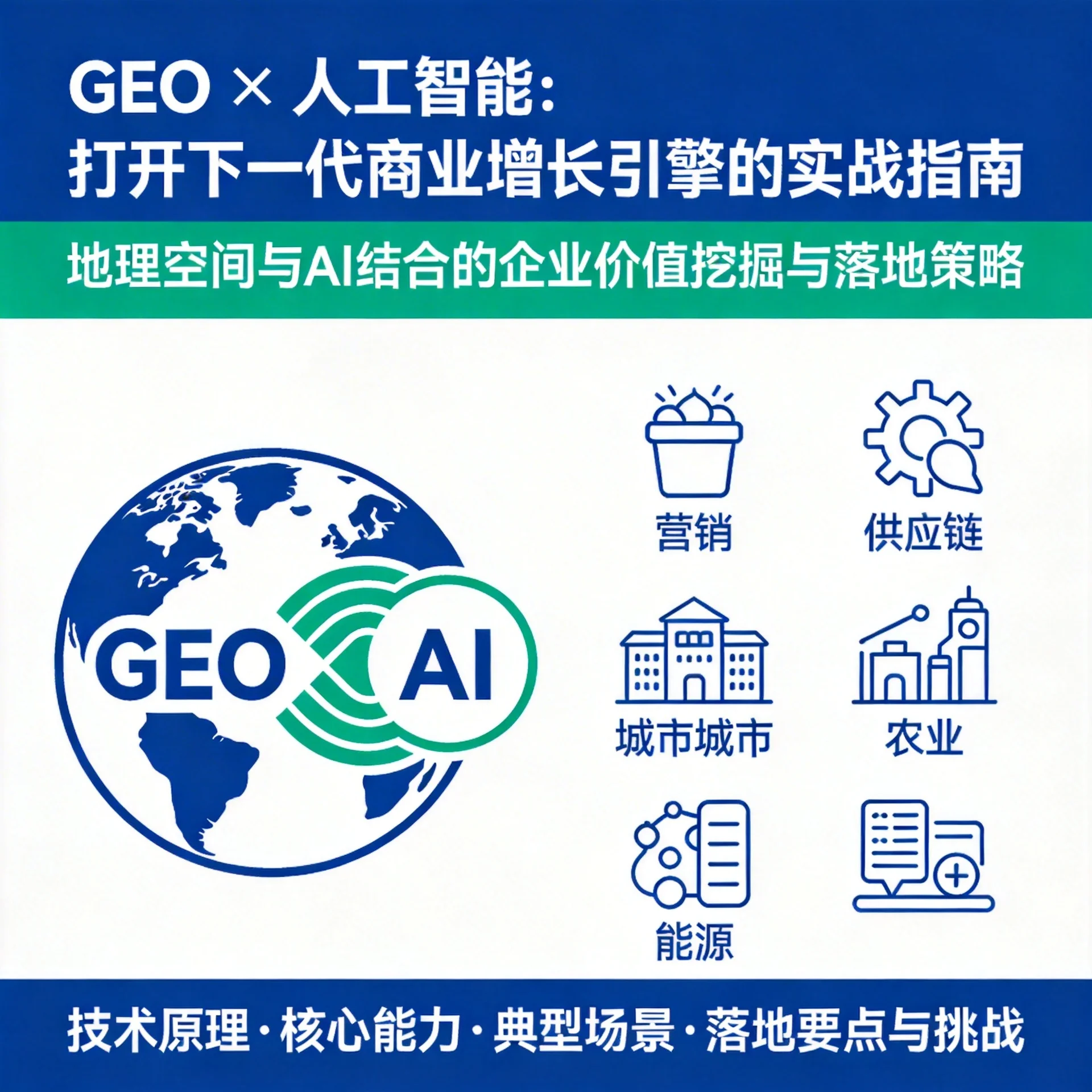
Core capabilities of GEO+AI
- Spatial awareness: incorporate time series and spatial topology relationships into models to detect anomalies, clustering, and spatiotemporal patterns.
- Multi-source fusion: fuse satellite imagery, road networks, POIs, mobility trajectories, weather, and sensor data to improve decision quality.
- Spatial prediction and simulation: predict demand, congestion, risk, etc., based on historical, weather, and behavioral data, and run what-if simulations.
- Fine-grained localization services: from macro site selection to micro routing and scene insights, improve user experience and efficiency.
Typical business scenarios
- Precision marketing and store site selection
- Use mobility trajectories and consumer heatmaps to identify high-value groups and the best store locations, increasing foot traffic and conversion.
- Supply chain and logistics optimization
- Perform dynamic dispatching based on road conditions, weather, and order density to achieve shorter delivery times and lower logistics costs.
- Urban management and traffic dispatch
- Real-time congestion prediction, event detection, and signal optimization improve traffic flow and reduce carbon emissions.
- Agriculture and natural resources monitoring
- Satellite imagery + deep learning enable crop growth estimation, pest and disease monitoring, and precision fertilization.
- Energy, insurance, and risk control
- Use terrain, climate, and historical loss data to predict disaster losses, set pricing, and automate rapid claims processes.
Implementation essentials (from data to commercialization)
- Data governance and compliance
- Clarify data sources, quality, and update frequency; when handling location-sensitive information, comply with privacy regulations and obtain user consent.
- Models and feature engineering
- Construct spatiotemporal features (e.g., neighborhood statistics, graph neural networks GNN, temporal convolutions), and apply transfer learning to enhance capabilities in low-sample scenarios.
- System architecture and online services
- Offline training + online inference, use microservices and stream processing frameworks (Kafka, Flink) to ensure low-latency location queries and predictions.
- Commercialization path
- Start with internal efficiency gains (cost reduction, performance improvement), accumulate metrics, then extend outward to external products (location service APIs, SaaS dashboards).
- Metrics and experiment design
- Define clear A/B metrics (e.g., % increase in foot traffic, reduction in delivery times, decrease in claim rates), and continuously iterate to validate ROI.
Practical example (pseudocode)
# Request geo AI service: predict store transactions based on POI heat and population density
payload = {
  "location": [lng, lat],
  "poi_features": [...],
  "mobility_heatmap": [...],
  "weather": {...}
}
response = geo_ai.predict(payload)
print("Estimated daily sales:", response['predicted_sales'])
Success factors and common challenges
- Success factors: data joining capability (multi-source fusion), product-oriented thinking (packaging model capabilities as easy-to-use APIs), and focusing on deployable scenarios.
- Challenges: data silos and privacy restrictions leading to poor model generalization; high infrastructure costs when real-time requirements are strict; model interpretability and regulatory compliance issues.
Conclusion
GEO+AI is a path that combines technical depth with commercial value. For enterprises, the key is to start from a clear business problem, build a feature system centered on spatiotemporal aspects, ensure data governance and compliance, adopt an engineered online inference architecture, and achieve commercialization through rapid, incremental productization. In the future, as richer sensor data and more powerful models emerge, geospatial intelligence services will become an important means of differentiating enterprises competitively.